
Mount Liamuiga Hike: An Honest Guide to the St. Kitts Volcano
The Mount Liamuiga hike is a steep rainforest climb to the crater rim of the St. Kitts volcano, the island's highest mountain. Here is what it involves, how to reach the trailhead, and easier ways to see the volcano if a full hike doesn't fit your day.
 By Mechiel Francis Dunrod, licensed St. Kitts taxi driver and tour guide ·
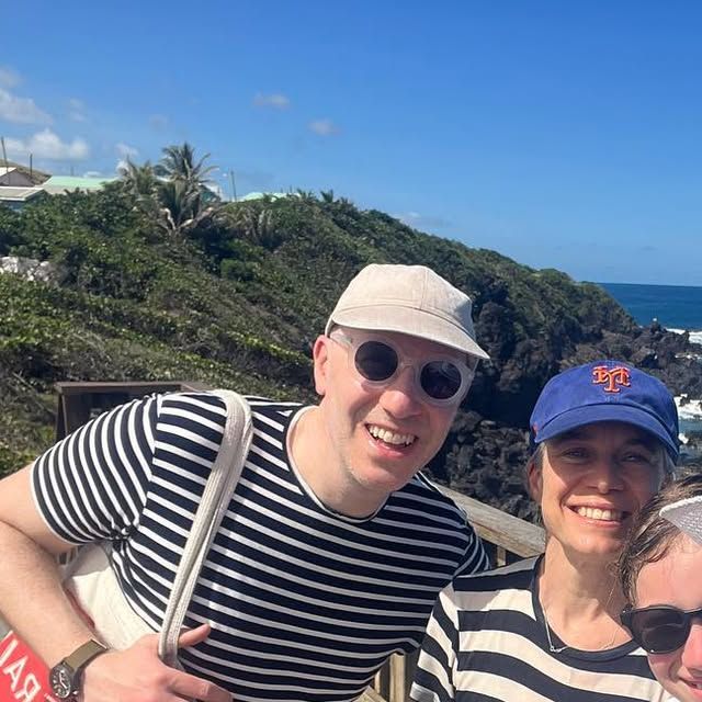
Quick answer: Mount Liamuiga is a dormant volcano and, at 3,792 feet (1,156 m), the highest point on St. Kitts. The usual hike starts above Belmont Estate near St. Paul's, climbs through rainforest to the crater rim at about 2,700 feet, and takes 5 to 7 hours round trip. It is steep and muddy, so go with a licensed hiking guide.
Mount Liamuiga at a glance
These are the numbers most people ask about. Distance and climb vary between sources, so treat them as close estimates.
| Question | Answer |
|---|---|
| Height | 3,792 ft (1,156 m), the highest point on St. Kitts |
| Type | Dormant volcano; last confirmed eruption about 1,800 years ago |
| Where | North end of the island, in the Central Forest Reserve National Park |
| Trailhead | Above Belmont Estate, near St. Paul's; about 40 minutes' drive from Basseterre |
| Where the trail ends | The crater rim, roughly 2,700 ft |
| Distance | About 4 miles (6.5 km) round trip |
| Time | 5 to 7 hours round trip, plus the drive |
| Difficulty | Hard: steep, muddy, roots, short rock ledges, ropes near the top |
| Guide | No official rule we could find, but strongly advised |
| Best months | The drier season, roughly January to April |
How high is Mount Liamuiga, and what is at the top?
Mount Liamuiga is 3,792 feet (1,156 m) high, the highest point on St. Kitts. The standard hike stops on the western crater rim at roughly 2,700 feet. The true summit, about 1,000 feet higher on the far side of the crater, is not on the normal trail.
From the rim you look into a crater about 1 km (0.6 miles) wide, lined with forest and often full of drifting cloud. In some years the crater floor has held a shallow lake.
The mountain's old name was Mount Misery. It was renamed when St. Kitts became independent in 1983, after Liamuiga, the Kalinago name for the island, usually translated as "fertile land".
Is Mount Liamuiga still active?
It is dormant, not extinct. The last confirmed eruption was about 1,800 years ago, around 160 CE; reports of eruptions in 1692 and 1843 are uncertain.
There is still heat below. The crater has steaming vents, and earthquake swarms shook the area in 1988-89 and 1999-2000. In 2021 the director of the UWI Seismic Research Centre, which monitors the volcano, said the activity in the crater was normal, as reported by the government information service.
Where the trail starts and how to get there
The trail starts above Belmont Estate, near the village of St. Paul's on the north end of the island. It is about 40 minutes by road from Basseterre and 35 from Frigate Bay, with the last stretch on farm roads.
The start is easy to miss, so most hikers arrive with their guide or by taxi. We can drive your group to the trailhead and collect you afterwards with our taxi service, and our 14-passenger bus fits larger groups.
We are drivers, not hiking guides. Ask us on WhatsApp about booking a licensed hiking guide; we can't promise one for every date.
How long the hike takes and how hard it is
Plan on 5 to 7 hours round trip on the trail, according to the Caribbean Journal. Fit, experienced hikers can be quicker; groups, wet days and photo stops make it longer.
The lower trail climbs through farmland and forest at a steady grade. Higher up it gets steep: roots work as steps, the ground is often muddy, and near the top you use hands and feet on short rock ledges, with ropes on some sections.
Near the rim you reach cloud forest, where everything is wet and slippery. Coming down on wet roots is slow, so save energy for the descent.
Do you need a guide for Mount Liamuiga?
We could not find an official rule that requires one, but most visitors hike with a local guide, and we strongly advise it.
A guide knows where the trail leaves the farm roads, manages the steep and roped sections, reads the weather, and knows when to turn back. The rim is often in cloud, which makes the route harder to judge on your own.
Book a licensed hiking guide before your date, ask what the price includes, and confirm whether the plan is the rim only.
Crater rim or into the crater?
Plan on the rim. The standard hike ends at a viewpoint on the crater's western rim, and that is the goal for most groups.
Going down to the crater floor is a different trip. Older accounts say the descent became much harder after Hurricane Hugo in 1989 stripped away the trees used as handholds. Some guides describe a roped scramble down that adds time and risk. Only consider it with an experienced guide who offers it, in dry weather, and never on your own.
What to bring
- Hiking shoes or boots with real grip (not sandals)
- Long pants, and gloves for roots and ropes
- Plenty of water, at least 2 liters each, and snacks
- A light rain jacket, as it is cooler and wetter at the top
- Insect repellent and sunscreen
- Dry clothes and a bag for muddy shoes for the ride back
Best time of year and day
The drier months, roughly January to April, usually mean firmer ground. In the wetter months, and after any heavy rain, the trail turns to deep mud and is more slippery.
Start early. Morning hikes avoid the worst heat and give you a better chance of a clear view before the clouds build. For weather month by month, see our guide to the best time to visit St. Kitts.
Can cruise passengers hike Mount Liamuiga?
Sometimes, but it is tight. Add 5 to 7 hours on the trail to about 40 minutes of driving each way, plus time to leave the ship, and you need 7 to 9 hours before your all-aboard time.
Most ships are in port from about 8am to 5pm or 6pm, and all-aboard is earlier than departure. A hike only works on a long port day, with a fit group, an early start and a guide who knows your deadline.
On a shorter call, or if anyone in your group is unsure about steep, muddy ground, pick a rainforest tour instead. See our tours for cruise passengers.
Easier ways to see the St. Kitts volcano and rainforest
If the full hike is too much, you can still see the volcano and walk in the rainforest.
- St. Kitts rainforest tour: our Rainforest + Botanical Gardens tour has relaxed nature stops with optional easy walks. Price on request.
- Brimstone Hill Fortress: the fort stands on the coast below the volcano's western slopes, so on a clear day you look up at the mountain from its walls. See our Brimstone Hill guide.
- Black Rocks: dark lava formations on the Atlantic coast, widely linked to old flows from Liamuiga, and a stop on our Full Island Tour.
- Romney Manor: gardens at the edge of the rainforest; see our guide to Romney Manor and Caribelle Batik.
Along the forest edges you may also spot green vervets; our guide to the St. Kitts monkeys covers where to look.
Need a ride to the trailhead?
We drive hiking groups to the Mount Liamuiga trailhead and back, and our Rainforest + Botanical Gardens tour suits anyone who wants the forest without the climb. Ask us on WhatsApp about booking a licensed hiking guide. A 20% deposit holds your day.
Mount Liamuiga hike: FAQs
How tall is Mount Liamuiga?
Mount Liamuiga is 3,792 feet (1,156 m) high, the highest point on St. Kitts. The standard hiking trail ends on the crater rim at roughly 2,700 feet, so most hikers do not stand on the true summit, which sits about 1,000 feet higher across the crater.
Is the Mount Liamuiga hike OK for beginners or children?
It suits fit people who are comfortable on steep, muddy ground. Complete beginners, young children and anyone with knee or balance problems usually find it too much. A guide can set a slow pace and turn back early, but a rainforest tour with short walks is the safer pick.
Is there a lake in the Mount Liamuiga crater?
Sometimes. The crater floor has held a shallow lake in some years and been dry in others. Don't count on seeing water. On many days the crater is full of cloud, so a clear view from the rim is never guaranteed.
Will I see monkeys on the Mount Liamuiga hike?
You might. Green vervet monkeys live in the forest and around the farms below the trailhead, but they are harder to spot in thick forest. The Southeast Peninsula road and the lookouts give better odds.
Can you see the St. Kitts volcano without hiking?
Yes. On a clear day the mountain dominates the north of the island, and you can see its slopes from the coast road and from Brimstone Hill Fortress. Black Rocks, on the Atlantic side, shows the dark lava rock linked to its old eruptions.
Sources
- Caribbean Journal: You can hike a Caribbean volcano in St Kitts (March 2026), checked October 2026.
- National Archives of St. Kitts and Nevis: Mount Liamuiga, checked October 2026.
- Smithsonian Institution, Global Volcanism Program: Liamuiga, checked October 2026.
- SKNIS (St. Kitts and Nevis Information Service): fumarole video not a cause for concern (May 2021), checked October 2026.
More St. Kitts guides
 Best time to visit St. KittsWeather, rain and how busy the cruise port is, month by month.
 St. Kitts monkeys: where to see themWhere to spot the green vervet monkeys and how to take photos respectfully.
 Romney Manor and Caribelle BatikThe gardens, the old saman tree and the batik studio, and how to visit.